Land Surveying & Mapping
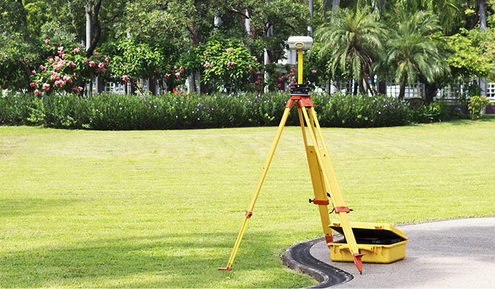
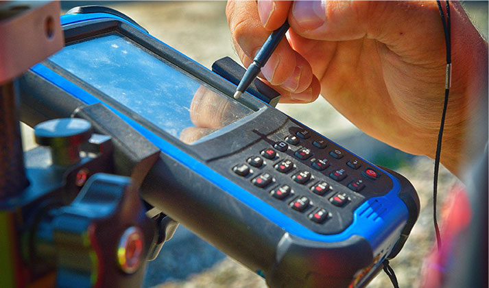
The RWA Surveying division consistently delivers accurate plans to a broad clientele. When you choose RWA for your surveying services, you receive quality service, expert accuracy, optimum equipment and solid experience. RWA maintains the latest in Global Positioning System (GPS) equipment and computer software to assist with data acquisitions, note reductions and computations, thereby allowing for maximum speed and precision both in the office and in the field. RWA Surveyors have effectively provided surveying services that include project design surveys, sketch and descriptions for right-of-way mapping and easements, ALTA/ACSM land title surveys, wetland delineation surveys, planometric and topographic maps, construction stakeout surveys and various other specialty surveys.
- ALTA/ACSM Surveys
- Boundary Surveys
- Comprehensive Land Surveying & Mapping
- Construction Surveys
- Design Surveys
- GPS Data Collection
- Land Surveys
- Legal Descriptions
- Monitoring Surveys
- Right-of-Way Mapping
- Specialized Survey Services
- Subdivision Platting
- Subsurface Utility Locating
- Topographic Mapping


